

DOI Seite / Zitierlink:
https://doi.org/10.11588/diglit.22272#0065


THE ANTONINE WALL REPORT.
47
the ground swells again to a western spur 430 feet above sea
level and 90 yards distant to westward from the 460 feet height
of the plateau. Then a steady protracted downward slope
begins, which for present purposes need not be followed further
than 220 yards, where, little over 300 feet above sea level, it is
once more crossed by a stone dyke.
The military way appears in crossing Croy Hill to have kept
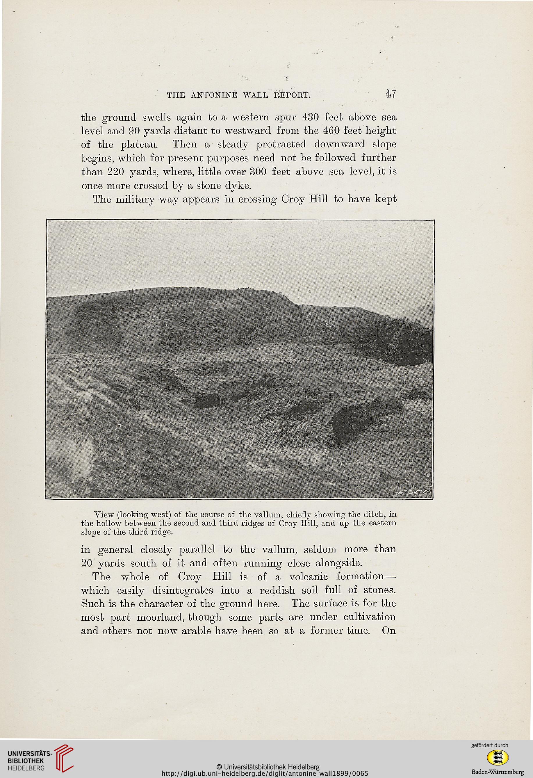
View (looking west) of the course of the vallum, chiefly showing the ditch, in
the hollow between the second and third ridges of Croy Hill, and up the eastern
slope of the third ridge.
in general closely parallel to the vallum, seldom more than
20 yards south of it and often running close alongside.
The whole of Croy Hill is of a volcanic formation—
which easily disintegrates into a reddish soil full of stones.
Such is the character of the ground here. The surface is for the
most part moorland, though some parts are under cultivation
and others not now arable have been so at a former time. On
47
the ground swells again to a western spur 430 feet above sea
level and 90 yards distant to westward from the 460 feet height
of the plateau. Then a steady protracted downward slope
begins, which for present purposes need not be followed further
than 220 yards, where, little over 300 feet above sea level, it is
once more crossed by a stone dyke.
The military way appears in crossing Croy Hill to have kept
View (looking west) of the course of the vallum, chiefly showing the ditch, in
the hollow between the second and third ridges of Croy Hill, and up the eastern
slope of the third ridge.
in general closely parallel to the vallum, seldom more than
20 yards south of it and often running close alongside.
The whole of Croy Hill is of a volcanic formation—
which easily disintegrates into a reddish soil full of stones.
Such is the character of the ground here. The surface is for the
most part moorland, though some parts are under cultivation
and others not now arable have been so at a former time. On