

DOI Seite / Zitierlink:
https://doi.org/10.11588/diglit.1004#0029


cSSSK..
rGK£VT
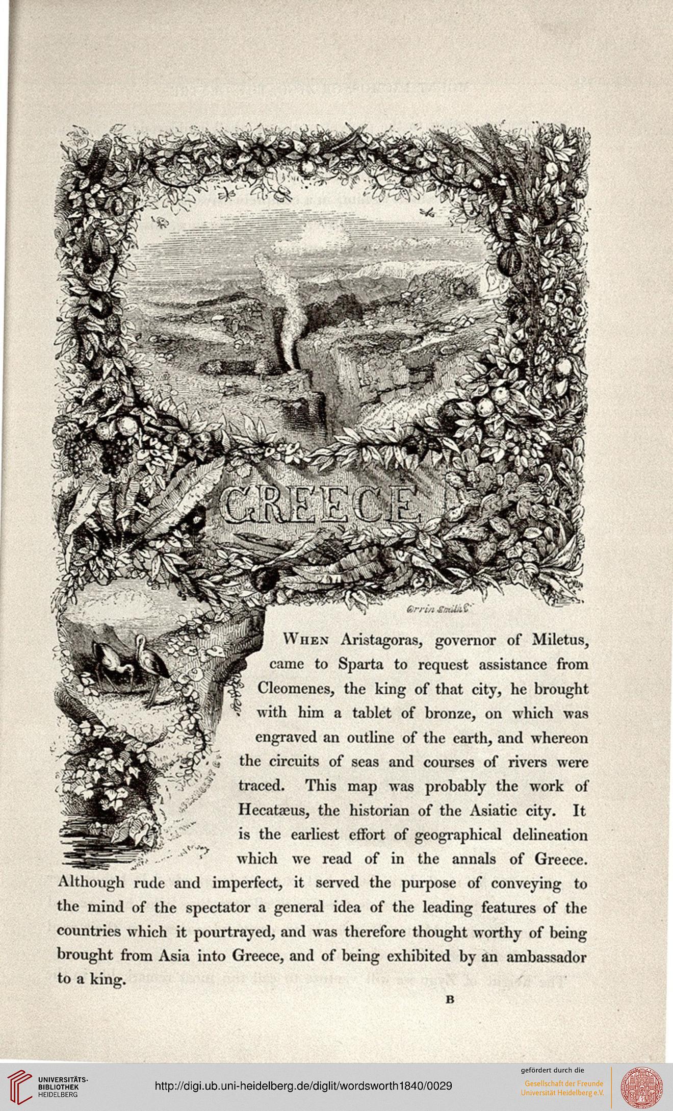
When Aristagoras, governor of Miletus,
came to Sparta to request assistance from
Cleomenes, the king of that city, he brought
with him a tablet of bronze, on which was
engraved art outline of the earth, and whereon
the circuits of seas and courses of rivers were
traced. This map was probably the work of
Hecatasus, the historian of the Asiatic city. It
is the earliest effort of geographical delineation
which we read of in the annals of Greece.
Although rude and imperfect, it served the purpose of conveying to
the mind of the spectator a general idea of the leading features of the
countries which it pourtrayed, and was therefore thought worthy of being
brought from Asia into Greece, and of being exhibited by an ambassador
to a king.
rGK£VT
When Aristagoras, governor of Miletus,
came to Sparta to request assistance from
Cleomenes, the king of that city, he brought
with him a tablet of bronze, on which was
engraved art outline of the earth, and whereon
the circuits of seas and courses of rivers were
traced. This map was probably the work of
Hecatasus, the historian of the Asiatic city. It
is the earliest effort of geographical delineation
which we read of in the annals of Greece.
Although rude and imperfect, it served the purpose of conveying to
the mind of the spectator a general idea of the leading features of the
countries which it pourtrayed, and was therefore thought worthy of being
brought from Asia into Greece, and of being exhibited by an ambassador
to a king.