

DOI Seite / Zitierlink:
https://doi.org/10.11588/diglit.6553#0068


APPENDIX.
39
PYRAMID No. 1 IN THE MAP.
This pyramid seems to have heen of a later date than the two
following, because the road for the conveyance of materials to
it has been constructed with crude bricks from a causeway,
which had been previously formed in the rock to Nos. 2 and 3.
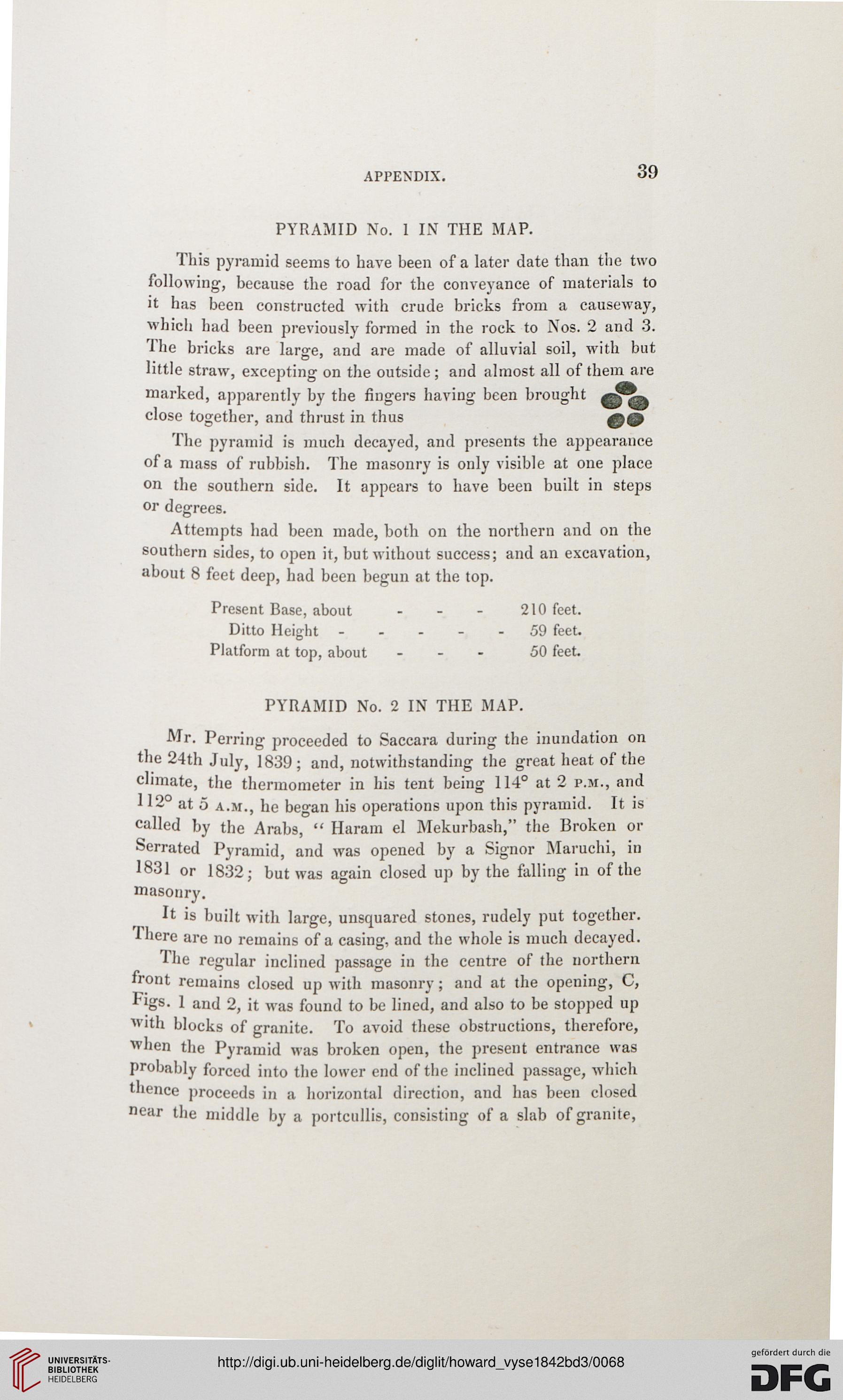
The bricks are lar<re, and are made of alluvial soil, with but
little straw, excepting on the outside; and almost all of them are
marked, apparently by the fingers having been brought
close together, and thrust in thus 09
The pyramid is much decayed, and presents the appearance
of a mass of rubbish. The masonry is only visible at one place
on the southern side. It appears to have been built in steps
or degrees.
Attempts had been made, both on the northern and on the
southern sides, to open it, but without success; and an excavation,
about 8 feet deep, had been begun at the top.
Present Base, about - - - 210 feet.
Ditto Height.....59 feet.
Platform at top, about - 50 feet.
PYRAMID No. 2 IN THE MAP.
Mr. Perring proceeded to Saccara during the inundation on
the 24th July, 1839; and, notwithstanding the great heat of the
climate, the thermometer in his tent being 114° at 2 p.m., and
112° at 5 a.m., he began his operations upon this pyramid. It is
called by the Arabs, " Haram el Mekurbash," the Broken or
Serrated Pyramid, and was opened by a Signor Maruchi, in
1831 or 1832; but was again closed up by the falling in of the
masonry.
It is built with large, unsquared stones, rudely put together.
There are no remains of a casing, and the whole is much decayed.
The regular inclined passage in the centre of the northern
front remains closed up with masonry; and at the opening, C,
Figs. 1 and 2, it was found to be lined, and also to be stopped up
with blocks of granite. To avoid these obstructions, therefore,
when the Pyramid was broken open, the present entrance was
probably forced into the lower end of the inclined passage, which
thence proceeds in a horizontal direction, and has been closed
near the middle by a portcullis, consisting of a slab of granite,
39
PYRAMID No. 1 IN THE MAP.
This pyramid seems to have heen of a later date than the two
following, because the road for the conveyance of materials to
it has been constructed with crude bricks from a causeway,
which had been previously formed in the rock to Nos. 2 and 3.
The bricks are lar<re, and are made of alluvial soil, with but
little straw, excepting on the outside; and almost all of them are
marked, apparently by the fingers having been brought
close together, and thrust in thus 09
The pyramid is much decayed, and presents the appearance
of a mass of rubbish. The masonry is only visible at one place
on the southern side. It appears to have been built in steps
or degrees.
Attempts had been made, both on the northern and on the
southern sides, to open it, but without success; and an excavation,
about 8 feet deep, had been begun at the top.
Present Base, about - - - 210 feet.
Ditto Height.....59 feet.
Platform at top, about - 50 feet.
PYRAMID No. 2 IN THE MAP.
Mr. Perring proceeded to Saccara during the inundation on
the 24th July, 1839; and, notwithstanding the great heat of the
climate, the thermometer in his tent being 114° at 2 p.m., and
112° at 5 a.m., he began his operations upon this pyramid. It is
called by the Arabs, " Haram el Mekurbash," the Broken or
Serrated Pyramid, and was opened by a Signor Maruchi, in
1831 or 1832; but was again closed up by the falling in of the
masonry.
It is built with large, unsquared stones, rudely put together.
There are no remains of a casing, and the whole is much decayed.
The regular inclined passage in the centre of the northern
front remains closed up with masonry; and at the opening, C,
Figs. 1 and 2, it was found to be lined, and also to be stopped up
with blocks of granite. To avoid these obstructions, therefore,
when the Pyramid was broken open, the present entrance was
probably forced into the lower end of the inclined passage, which
thence proceeds in a horizontal direction, and has been closed
near the middle by a portcullis, consisting of a slab of granite,